What Is A Land Survey?
“What is a land survey?” Well, we have an answer. There are many components of a land survey, we will give several examples of what they are.
What a Land Survey Is
A Land survey is when you hire a professional land surveyor, registered in your particular state to provide a professional land survey. The actual land survey is a platted documented, such as a map, which shows the property one owns or leases and how that property fits on the physical ground with other properties.
A land surveyor by law sets boundary corners of your land and marks them with usually a 18″, 5/8″ rebar with a plastic cap signifying who the land surveyor is. These caps usually have the license number of the individual who is registered with your particular state.
The map that a land surveyor produces, shows the boundary of the property who own, as defined by what they call a legal description. A legal description describes the land in detail. Usually it gives a point of beginning and then it traverses around the property using degrees and distances.
The map further shows how the property fits with existing properties on the ground. Some of these physical properties are fences, houses, sheds, roads and more. The land survey shows all of this on a map to give the buyer / seller an idea of how all things look legally on paper.
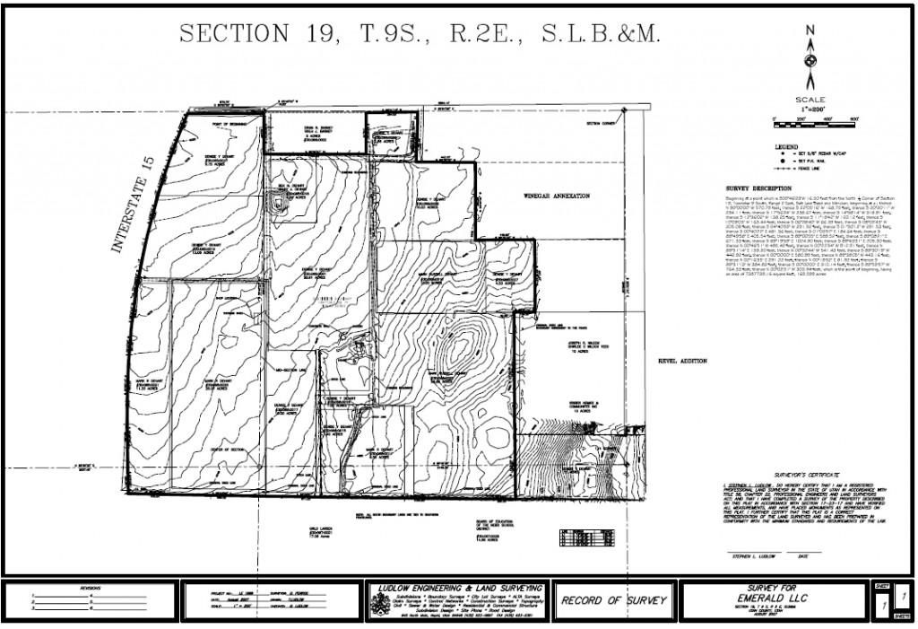
Example
This example shows the property as described in the survey description. Sometimes you can see that other items are included on a land survey, but not always necessary. The above example show topography lines, which are not a normal requirement.
Map
The map is completed and then is sent to the one who either requested the survey or the person who paid for the survey. It is also filed with the particular county where the land was surveyed. For example if a survey was completed in Provo, Utah. Then the survey would be filed with the Utah County recorders office. This filing is completed by the surveyor and is usually completed within 90 days from when the survey was performed.
What It Is Not
It does not determine actual ownership or possession of a property. Yes, they show boundary lines, but on occasion the recorded boundary lines is not what parties have agreed to. In these cases parties meet and either resolve these questions or a court of law determines them for you.
Please be sure to visit us at our contact page to learn more or if we can provide a land survey for you, then please call. Wikipedia defines it as this.


